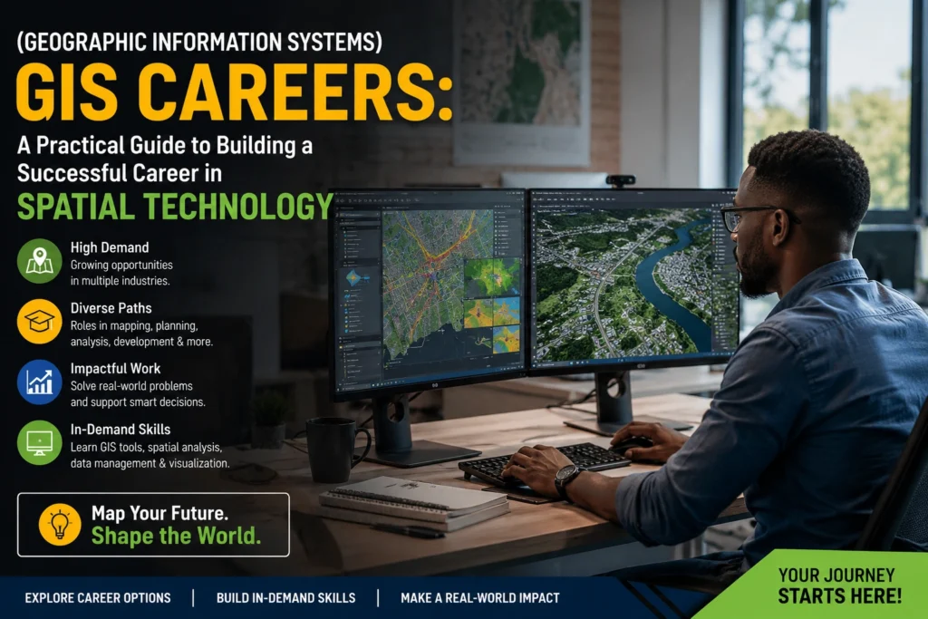

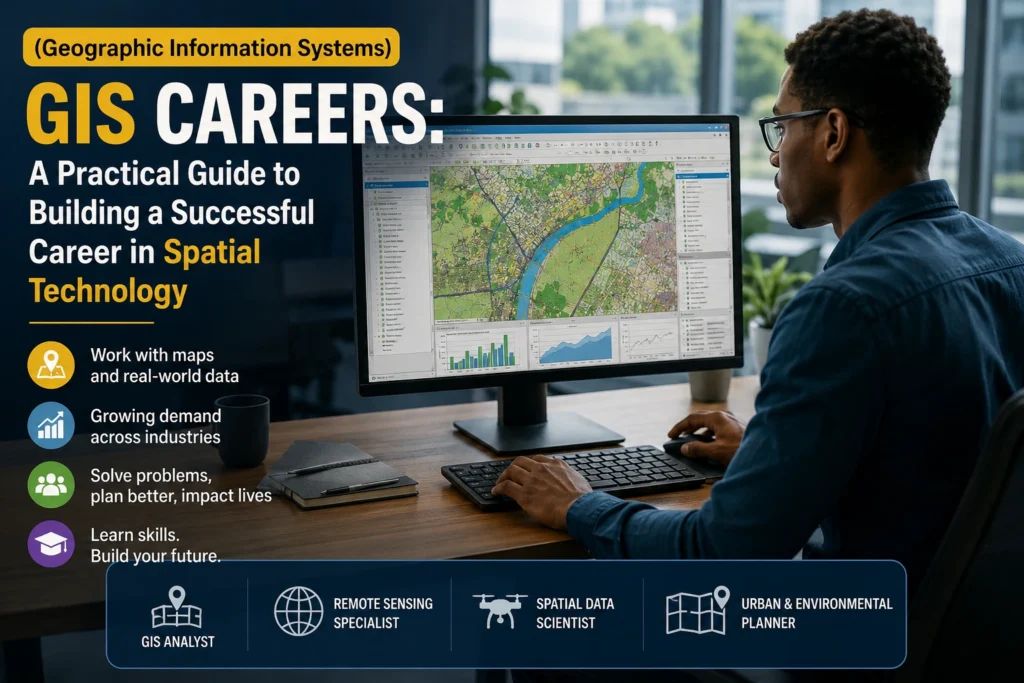
Choosing a career can feel overwhelming, especially when you’re interested in technology but also want your work to solve real-world problems. Many students and job seekers have heard about (Geographic Information Systems) GIS Careers, yet they often struggle to understand what GIS professionals actually do, which qualifications are required, or whether the field offers good long-term opportunities.
The confusion is understandable. GIS is used across industries including environmental management, urban planning, mining, agriculture, transport, disaster management, public health, telecommunications, and government. Because the technology works behind the scenes in so many sectors, many people never realize how many career paths it opens.
If you’re considering (Geographic Information Systems) GIS Careers, this guide explains what GIS is, why employers value these skills, the qualifications that can help you enter the industry, and practical steps you can take to build a rewarding career.
What Are (Geographic Information Systems) GIS Careers?
A Geographic Information System (GIS) is a technology that captures, stores, analyzes, manages, and displays data linked to locations on Earth. Instead of looking at information only in spreadsheets, GIS allows organizations to visualize data on maps and identify patterns that help with better decision-making.
Professionals working in (Geographic Information Systems) GIS Careers use specialized software to answer location-based questions such as:
- Where should a new hospital be built?
- Which roads require maintenance?
- Which communities are most vulnerable to flooding?
- How can delivery routes be optimized?
- Where should conservation efforts be focused?
GIS combines geography, computer science, surveying, statistics, remote sensing, and data analysis into one discipline.
Rather than simply creating maps, today’s GIS professionals solve complex business and environmental problems using spatial data.
ALSO APPLY FOR: SafetyCloud Learner 2026
ALSO APPLY FOR: FASSET Learnership 2026
Why This Issue Matters
Location data influences nearly every major industry today.
Governments rely on GIS for infrastructure planning, disaster response, land management, and service delivery. Mining companies use spatial analysis to identify resources and monitor environmental compliance. Farmers use GIS for precision agriculture, while logistics companies optimize delivery routes using mapping technologies.
As digital transformation accelerates, organizations increasingly depend on professionals who can interpret geographic information accurately.
This growing demand means (Geographic Information Systems) GIS Careers offer opportunities that combine technology, analytical thinking, and practical problem-solving.
People with GIS skills are also well positioned to adapt to emerging technologies such as artificial intelligence, satellite imagery analysis, drone mapping, digital twins, and smart cities.
Industries That Hire GIS Professionals
One advantage of GIS is that it is useful across many sectors.
Common employers include:
- Government departments
- Municipalities
- Environmental consulting firms
- Mining companies
- Engineering consultancies
- Construction firms
- Agriculture businesses
- Utility providers
- Telecommunications companies
- Transport authorities
- Emergency management agencies
- Research institutions
- Universities
- NGOs
- Renewable energy companies
Because geographic information supports decision-making across industries, GIS professionals enjoy relatively broad career mobility.
Popular GIS Career Paths
Several roles fall under the GIS umbrella.
GIS Technician
GIS technicians collect, organize, update, and maintain geographic databases. They also create maps for reports and planning purposes.
This role is often considered an entry point into the profession.
GIS Analyst
GIS analysts go beyond map creation by interpreting spatial information to solve business or environmental challenges.
Responsibilities may include:
- Spatial analysis
- Data visualization
- Population studies
- Infrastructure planning
- Environmental assessments
- Predictive mapping
GIS Specialist
Specialists typically manage more advanced GIS projects involving multiple datasets, complex analysis, and client requirements.
Many employers seek specialists with several years of practical experience.
Remote Sensing Analyst
Remote sensing professionals analyze satellite imagery, aerial photography, and drone data.
Their work supports agriculture, forestry, mining, conservation, and disaster monitoring.
Cartographer
Modern cartographers create digital maps designed for navigation, planning, research, and public communication.
Today’s maps often include interactive online features rather than printed products.
Spatial Data Scientist
As organizations collect increasingly large datasets, spatial data scientists combine GIS with programming, machine learning, and statistical analysis.
This emerging career is becoming increasingly valuable.
GIS Developer
Developers build GIS applications, web mapping platforms, automation tools, and custom software for organizations.
Programming knowledge becomes especially valuable in these roles.
Skills Needed for (Geographic Information Systems) GIS Careers
Employers usually look for a combination of technical and workplace skills.
Technical skills include:
- GIS software
- Digital mapping
- Spatial analysis
- Database management
- GPS technology
- Remote sensing
- Geographic databases
- Data visualization
- Cartography
- SQL databases
- Python programming
- Web GIS
- Drone mapping
- Satellite imagery interpretation
Soft skills include:
- Problem-solving
- Critical thinking
- Communication
- Report writing
- Attention to detail
- Time management
- Teamwork
- Project planning
Strong analytical ability often separates excellent GIS professionals from average ones.
Educational Pathways
There is no single route into GIS.
Many professionals begin with qualifications in:
- Geographic Information Systems
- Geography
- Geomatics
- Surveying
- Environmental Science
- Urban Planning
- Civil Engineering
- Computer Science
- Information Technology
- Geology
- Natural Resource Management
Many universities also offer postgraduate GIS certificates and diplomas for graduates from related fields.
Online learning platforms additionally provide practical GIS training that helps build employable skills.
ALSO READ ABOUT: Building a Career Timeline While Studying
Step-by-Step Guide to Starting a GIS Career
Step 1: Learn GIS Fundamentals
Begin by understanding:
- Spatial data
- Coordinate systems
- Digital mapping
- Geographic databases
- Data collection methods
Strong foundations make advanced software much easier to learn.
Step 2: Learn Industry Software
Employers commonly expect familiarity with GIS software.
Practice creating:
- Maps
- Layers
- Spatial queries
- Buffers
- Heat maps
- Thematic maps
Hands-on experience matters more than simply completing tutorials.
Step 3: Build Technical Skills
Expand your abilities by learning:
- Python automation
- SQL
- Spreadsheet analysis
- Remote sensing
- GPS data collection
- Drone data processing
The broader your skill set, the more opportunities become available.
Step 4: Create a Portfolio
Many employers want to see practical work.
Include projects such as:
- Land-use maps
- Transport analysis
- Environmental studies
- Population density mapping
- Disaster risk assessments
- Urban planning examples
Explain your methodology alongside each project.
Step 5: Gain Practical Experience
Internships, volunteer work, research projects, and university assignments all help build experience.
Real datasets demonstrate your ability to solve actual problems.
Step 6: Learn Data Visualization
Maps tell stories.
Focus on presenting information clearly through:
- Colours
- Symbols
- Labels
- Layout
- Interactive dashboards
Effective visualization often influences important decisions.
Step 7: Continue Learning
GIS evolves rapidly.
Stay informed about developments in:
- Artificial intelligence
- Cloud GIS
- Satellite technology
- Drone mapping
- Machine learning
- Web mapping
- Big data analytics
Continuous learning keeps your skills relevant.
Best Practices Experts Recommend
Successful GIS professionals tend to follow several consistent habits.
Prioritize data quality. Even advanced software cannot compensate for inaccurate or incomplete data. Always verify sources before beginning analysis.
Understand the problem before mapping it. Good GIS work starts with a clear question. Whether you’re planning infrastructure or analyzing environmental change, define the objective before collecting data.
Develop programming skills gradually. Learning Python or SQL can significantly improve efficiency by automating repetitive GIS tasks. Even basic scripting knowledge is highly valuable.
Create professional documentation. Employers appreciate analysts who can explain how data was collected, processed, and interpreted. Clear documentation also makes projects easier to update later.
Build a diverse portfolio. Showcase projects from different industries—such as environmental management, transport, public health, or urban planning—to demonstrate versatility.
Stay current with industry trends. GIS technology changes quickly. Following industry publications, attending webinars, and participating in professional communities can help you keep your knowledge up to date.
Mistakes People Often Make
One common mistake is believing GIS is only about making maps. In reality, modern GIS focuses on analyzing data to support decision-making.
Another frequent error is ignoring database skills. Spatial databases are at the heart of many GIS projects, so understanding how to manage and query data can greatly improve your career prospects.
Some beginners also spend too much time collecting software certificates without applying what they’ve learned. Employers generally value practical experience and problem-solving ability more than a long list of certificates.
Poor portfolio presentation is another issue. Simply uploading screenshots of maps without explaining the project’s purpose, methodology, and findings makes it difficult for employers to assess your skills.
Finally, many aspiring GIS professionals overlook communication skills. Technical expertise is important, but you must also be able to explain complex spatial information in ways that clients, managers, and policymakers can understand.
Career Growth Opportunities
GIS professionals can continue developing into roles such as:
- Senior GIS Analyst
- GIS Project Manager
- Spatial Data Scientist
- GIS Consultant
- Remote Sensing Specialist
- Urban Planning Consultant
- Environmental Data Analyst
- Geospatial Intelligence Analyst
- GIS Solutions Architect
- Digital Mapping Manager
Some professionals eventually establish consulting businesses that provide mapping, environmental analysis, spatial planning, or location intelligence services.
Future Trends Shaping GIS Careers
Several emerging technologies are transforming the GIS profession.
Artificial intelligence is improving automated image classification and predictive spatial analysis. Drones are making data collection faster and more affordable, while cloud-based GIS platforms allow teams to collaborate in real time.
Smart city initiatives increasingly rely on GIS to manage traffic, utilities, infrastructure, and public services. Climate change adaptation projects also depend on spatial analysis to identify environmental risks and support sustainable planning.
As these technologies mature, professionals who combine GIS expertise with programming, data science, and cloud computing are likely to enjoy strong employment prospects.
Frequently Asked Questions
Is GIS a good career choice?
Yes. GIS skills are used across numerous industries, making the profession adaptable and relevant. Demand is especially strong where organizations rely on location-based data for planning, analysis, and decision-making.
Do I need programming skills for GIS?
Not always when starting out. Many entry-level roles focus on mapping and data management. However, learning Python or SQL can improve efficiency and open doors to more advanced positions.
Can I work remotely in GIS?
Some GIS roles can be performed remotely, particularly those involving data analysis, map production, and software development. Fieldwork-based positions may require travel or on-site data collection.
Which industries offer the best opportunities?
Government, environmental consulting, mining, engineering, agriculture, utilities, transport, telecommunications, renewable energy, and urban planning all regularly employ GIS professionals.
Summary
(Geographic Information Systems) GIS Careers combine technology, geography, data analysis, and real-world problem-solving into a profession that continues to grow as organizations rely more heavily on spatial information. Whether you’re interested in environmental conservation, infrastructure planning, logistics, agriculture, or smart cities, GIS provides opportunities to make a measurable impact.
The strongest candidates are those who build a solid understanding of GIS fundamentals, gain hands-on experience with mapping and spatial analysis, develop complementary technical skills such as programming and database management, and maintain a portfolio that demonstrates practical problem-solving. By staying curious, continually updating your knowledge, and focusing on real-world applications, you can position yourself for a rewarding and future-ready career in the geospatial industry.
ALSO APPLY FOR: SafetyCloud Learner 2026
ALSO APPLY FOR: FASSET Learnership 2026
ALSO READ ABOUT: Building a Career Timeline While Studying